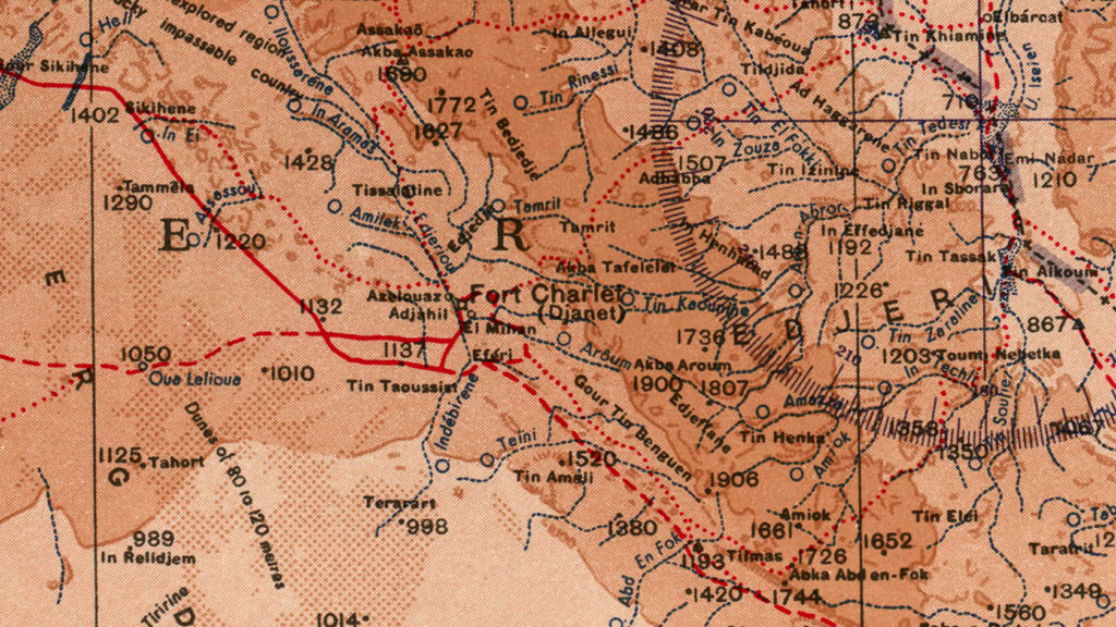
Here you can find some old maps of the Tassili n’Ajjer area.
While the geography is mainly relevant, distances and a lot of areas are very approximate. NEVER to use for navigation purposes. Names of places can often differ from one source to another, and even for the same name different spellings exist which makes it hard to find references.
The IGN map NG-32-IV has the more accurate names compared to names used by locals (2021)
- French IGN map,_Djanet 1:200 000 (contains most famous rock art sites)
- German map, Djanet 1:500 000
- US Army map, Djanet 1:1 000 000
